The National Weather Service administered a Hazardous Weather Outlook early Wednesday morning.

(Lawrenceburg, Ind.) - The National Weather Service Wilmington OH administered a Hazardous Weather Outlook for Southeast Indiana, Northern Kentucky, and Southwest Ohio.
The tri-state area will see heat indicies between 95 and 100 degrees throughout Wednesday afternoon.
Remnants of Hurricane Laura will bring in tropical moisture causing moderate to heavy rainfall for Friday and Saturday. Heavy rainfall could cause waters to rise in streams, creeks, and rivers, causing possible flooding.
Stay updated on all Hazardous Weather Outlooks at https://www.weather.gov/iln/.
[10:00 AM] Another hot and humid day is in store for us, with many locations climbing above 90 today. High pressure will keep the majority of the area dry, but a chance for an isolated shower or storm still exists, mainly for our northern counties. #ohwx pic.twitter.com/5ETSJqRphI
— NWS Wilmington OH (@NWSILN) August 26, 2020
 Scenic Routes Seen at Kids Building Bikes Camp
 Duke Energy Urges Everyone to Call 811 Before Digging
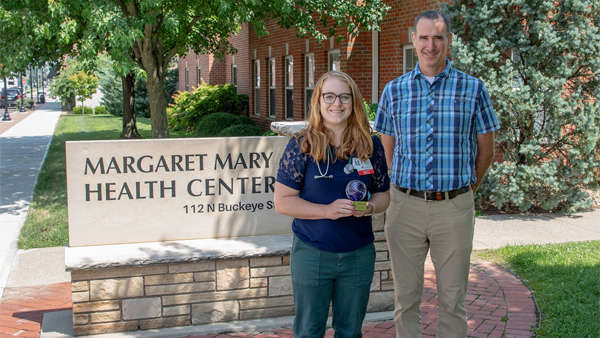 Dr. Valorie Parker Honored as Preceptor of the Year
 Cincinnati Man Arrested Following Multi-Agency High-Speed Pursuit on I-74
 GoFundMe Launched to Support Lawrenceburg Man Battling Cancer
 City of Batesville Working on Safety Camera Project